2020 Revised Atlantic Hurricane Forecast
Now, let's talk about the current sea surface temperature anomaly (SSTA) configuration in the Atlantic. As you can clearly see, we have a horseshoe of +SSTA's surrounding a pool of -SSTA's. This is a classic configuration that we see with above-average hurricane seasons. +SSTA's are located in the Main Development Region (MDR), which provides fuel for tropical waves.
The SSTA configuration isn't perfect, however, because the warmest water is not located directly in the MDR. Warm water enhances the rising motion in the air, so if this were to persist into peak season, the strongest rising would be located away from the MDR. This could cause sinking motion over the MDR, which would hurt tropicals waves. There are hints that the warmest water will migrate to the MDR, however, so we'll just have to wait and see.
Another important factor for the hurricane season is the West African Monsoon (WAM). This is what creates our tropical waves, so the strength of the monsoon is very important. As we have seen frequently this century, the WAM is very active, with above-average moisture content over the entire Sahel region. Assuming this persists through peak season, we should see robust tropical waves exit Africa, which have a better chance to develop into tropical cyclones.
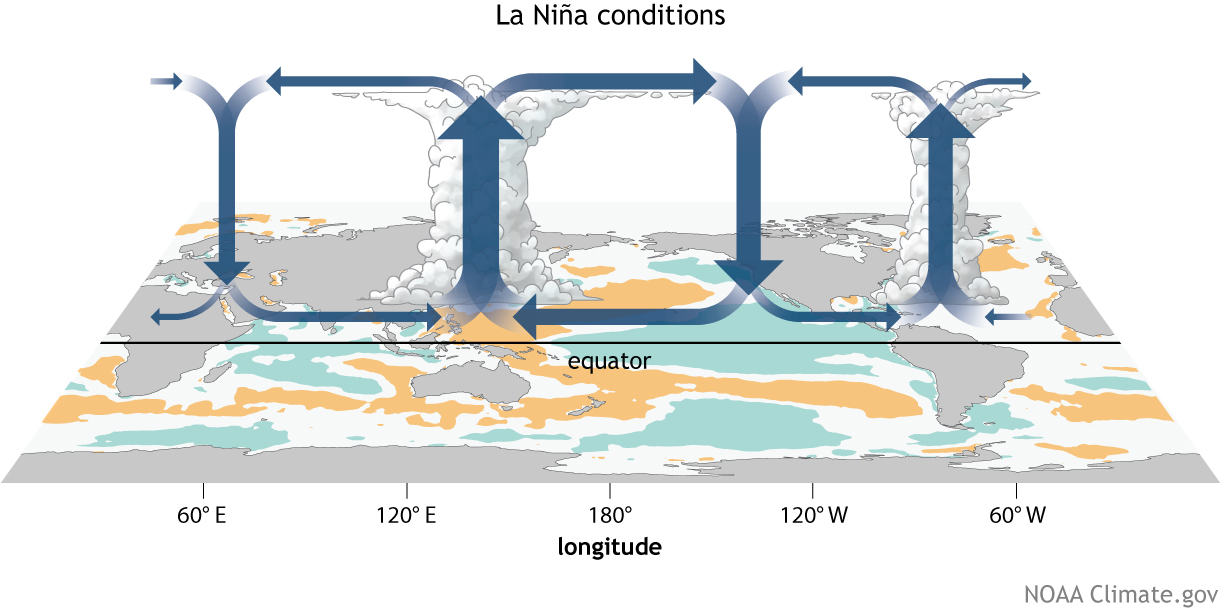
Let's take a look at some climate models. While these models can be very inaccurate, there are two things I look for; consistency with each other and consistency with my forecast. Both of these are true this year. Essentially all climate models forecast an active hurricane season, which also fits with my forecast. They also all forecast a cool ENSO to some degree, as we expect to see.
So that's it for my forecast reasoning. Essentially all indicators point to a very active season. Assuming that the sinking over the Atlantic disappears, we could have an early start to peak season. I am not a meteorologist, so make sure to refer to official forecasts and information when making decisions. This will be my last forecast assuming there are no big changes that I want to discuss, so thank you for following along!


